
See My Work
SJUT Web Platform
Web AppFront-End Developer Completed

Click to zoom
Click to zoom
Click to zoom
Overview
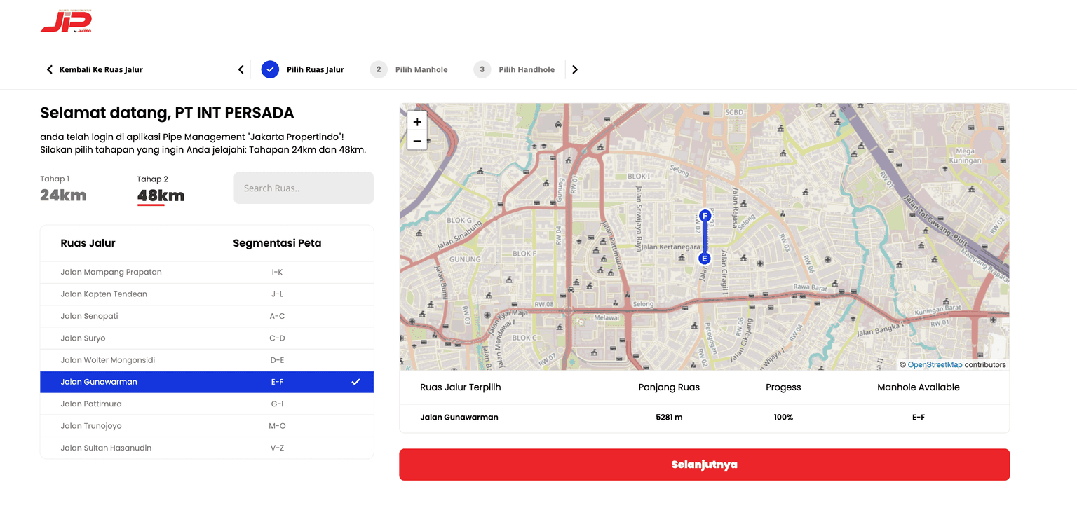
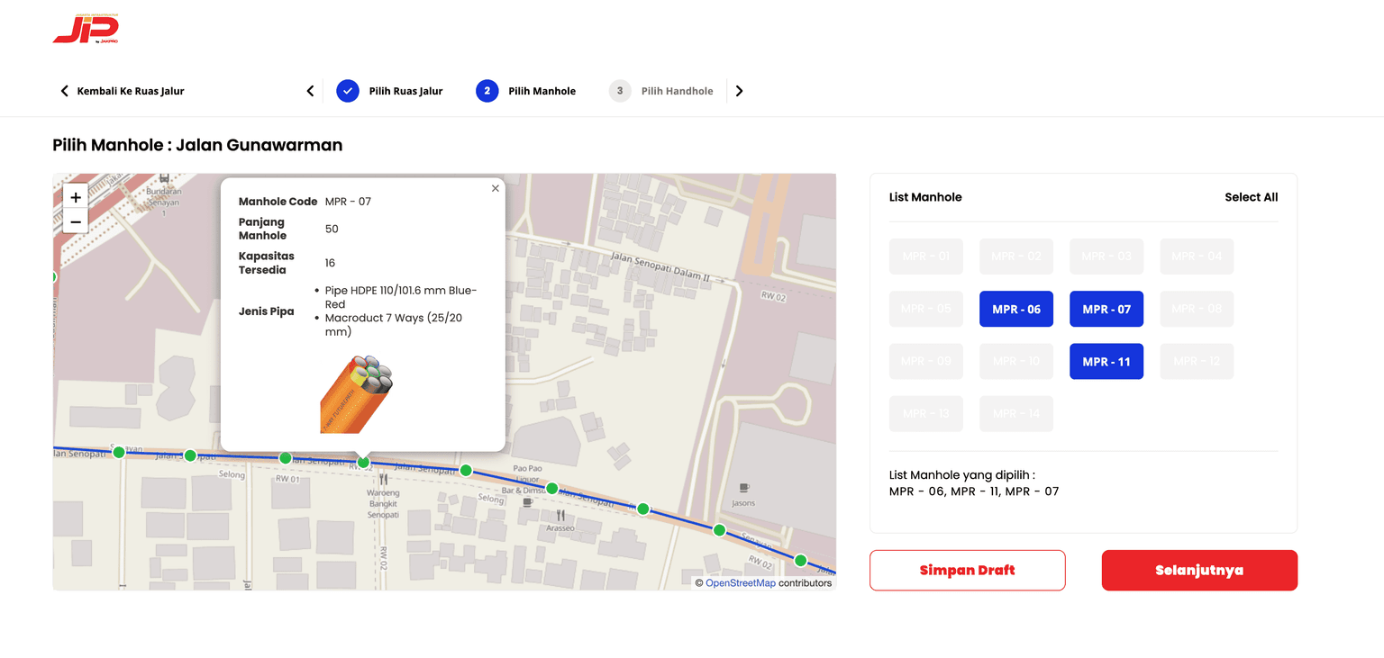
This application is a Geospatial Information System/Dashboard for Integrated Utility Network (SJUT) Management. It is used to map infrastructure, monitor manhole capacities, and process ticketing/ordering systems for utility service providers.
Key Features
Geospatial Infrastructure Mapping
Maps major roads and specific coordinate points for utility network segments using interactive digital maps.
Capacity and Progress Monitoring
Displays real-time data regarding manhole capacity and installation progress percentages on every street segment.
Ticketing System
A module for telecommunication providers to create orders, save drafts, and track the history of underground utility placement requests.
Automatic Dark/Light Theme
Provides seamless transition functionality between dark and light theme modes.
Technologies
Framework & Language
Nuxt 3Vue 3TypeScript
State Management & Maps
PiniaLeaflet
Styling & UI
Tailwind CSSnuxt-iconvue-toastification